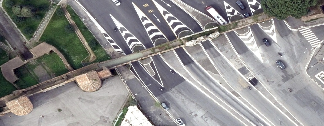
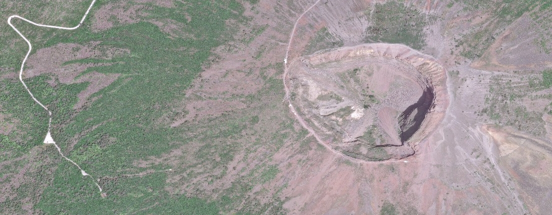
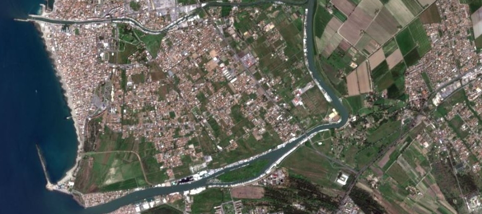
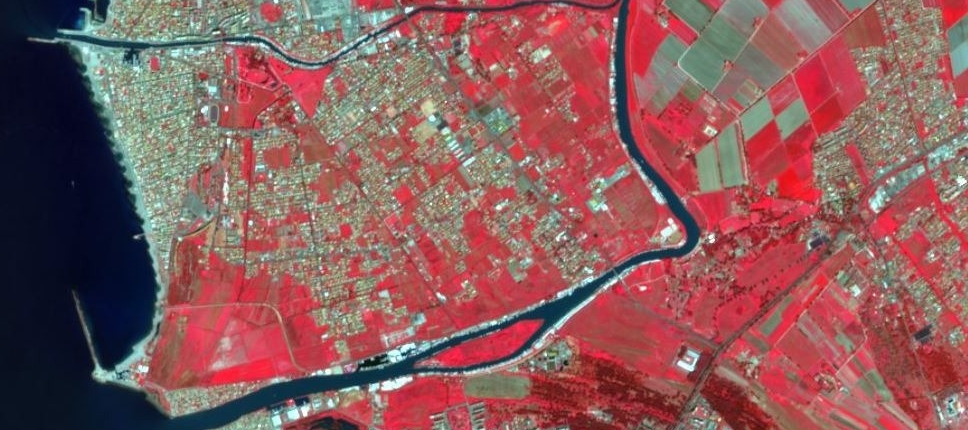
Biosat is the platform to discover, purchase, and download satellite images and thematic geospatial data.
- We offer accurate and structured datasets from optical and multispectral sensors, as well as certified GIS providers.
- The data is ready for integration into GIS environments and remote sensing applications.
- Our marketplace provides up-to-date content, ideal for research, environmental analysis, urban planning, precision agriculture, and other territorial applications.
Who Biosat is for
- Companies and startups
- Public administrations
- Universities and research centers
- Professionals
Main applications
- Territorial analysis
- Environmental monitoring
- Precision agriculture
- Natural hazards and emergencies
- Thematic cartography
What you’ll find in the catalog
- Satellite imagery
- Vector data
- Historical and near real-time data
- Data for GIS and remote sensing applications
About Iptsat
- An Italian company specializing in geospatial solutions
- Experts in land monitoring and management
- Partner of Esri, 21AT, CG Satellite, Cyber 4.0
- Authorized MEPA supplier for public administrations
