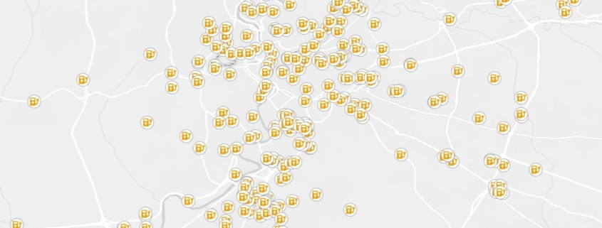
Charging station (for electrical vehicles)
The dataset contains the exact location and identification of charging stations for electrical vehicles

The dataset contains the exact location and identification of charging stations for electrical vehicles
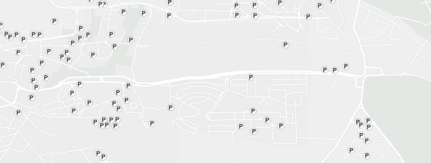
The dataset concerns the exact location of the places used as parking of vehicles in Italian territory.
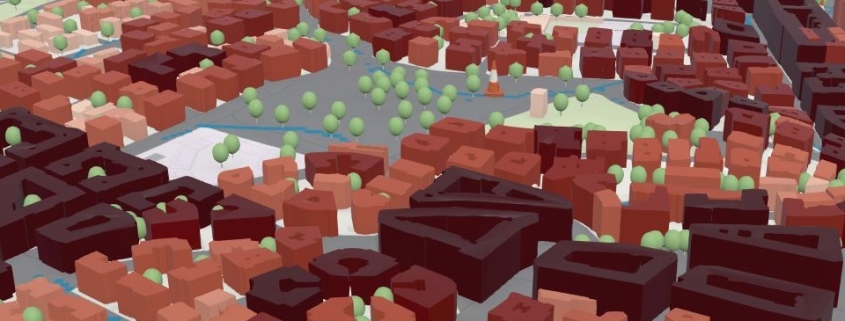
This dataset concerns the population demographic ISTAT census distributed across residential buildings, according to a statistical-mathematical model designed by Iptsat.
This dataset concerns the population demographic ISTAT census
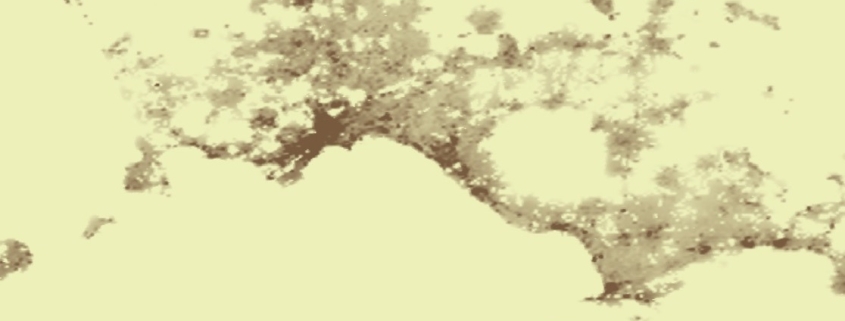
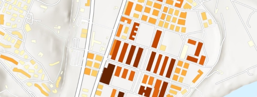
The spatial raster dataset represents the Average Net Building Height (ANBH) of built structures, calculated only on pixels with height values greater than 0 m, thus excluding non-built ground areas.
Availability: Available
Data Type: raster
Delivery Method: API, Direct download
Compatible with: ArcGIS Enterprise, ArcGIS Online, ArcGIS Pro, QGIS
Piattaforms: Desktop, Web
System Requirements: None
Version: 1.0
Coverage Area: Italia
Data Format: Tiff, GeoTiff, .jpg, Excel, csv, .pdf
Sistema di riferimento: WGS 1984 UTM Zone 32N (EPSG: 32632)
Sources: Sentinel-2 Copernicus Programe
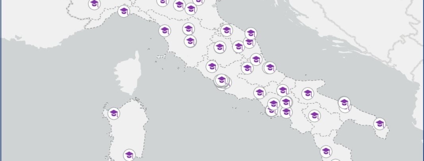
The dataset contains the exact location and information relative to the universities in Italian territory
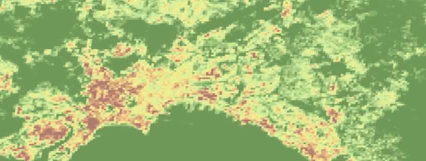
It represents the Average Gross Building Height (AGBH) of buildings in meters, considering both built-up areas and empty spaces (ground) within the analysis cell. AGBH is therefore the average height calculated by taking into account the entire built volume of the structure, from ground level to the top of the buildings.
Availability: Available
Data Type: raster
Delivery Method: API, Direct download
Compatible with: ArcGIS Enterprise, ArcGIS Online, ArcGIS Pro, QGIS
Piattaforms: Desktop, Web
System Requirements: None
Version: 1.0
Coverage Area: Italia
Data Format: Tiff, GeoTiff, .jpg, Excel, csv, .pdf
Sistema di riferimento: WGS 1984 UTM Zone 32N (EPSG: 32632)
Sources: Sentinel-2 Copernicus Programe
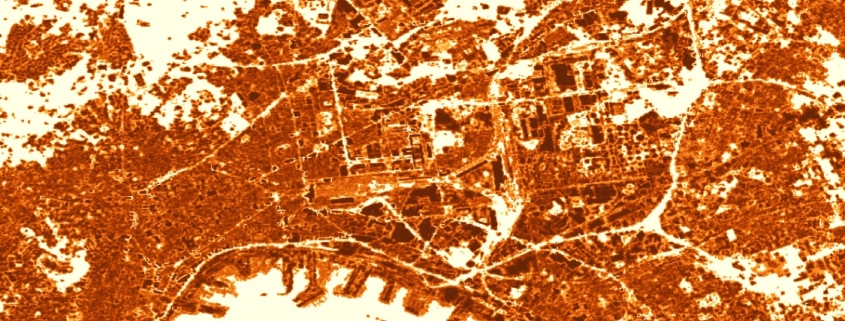
The spatial raster dataset depicts the distribution of built-up surfaces, expressed as number of square metres.
Availability: Available
Data Type: raster
Delivery Method: API, Direct download
Compatible with: ArcGIS Enterprise, ArcGIS Online, ArcGIS Pro, QGIS
Piattaforms: Desktop, Web
System Requirements: None
Version: 1.0
Coverage Area: Italia
Data Format: Tiff, GeoTiff, .jpg, Excel, csv, .pdf
Sistema di riferimento: WGS 1984 UTM Zone 32N (EPSG: 32632)
Sources: Sentinel-2 Copernicus Programe
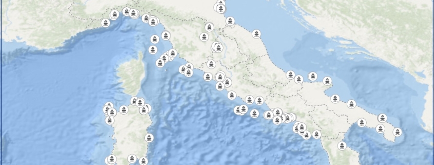
The dataset concerns the exact location of Italian ports
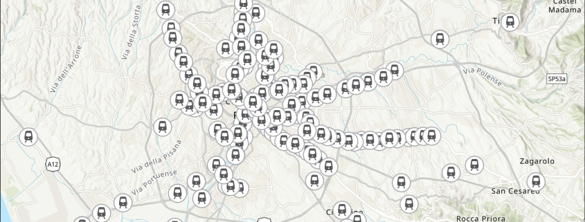
The dataset concerns train transportation and in particular all the information regarding train stops and stations.
