
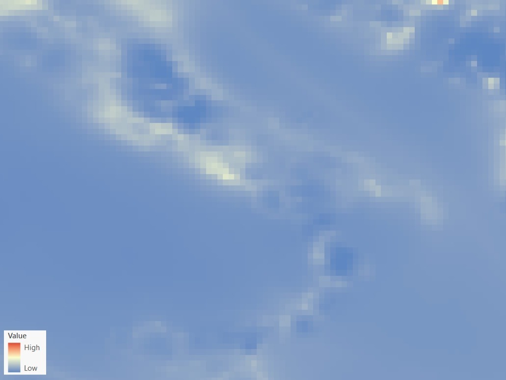
Air Quality Map PM 2,5 (Sentinel-5)
The raster dataset (resolution 10 km) represents the concentration (µg/m3) of PM2,5
Availability: Available
Data Type: raster
Delivery Method: API, Direct download
Compatible with: ArcGIS Enterprise, ArcGIS Online, ArcGIS Pro, QGIS
Piattaforms: Desktop, Web
System Requirements: None
Version: 1.0
Coverage Area: Italia
Data Format: Tiff, GeoTiff, .jpg, Excel, csv, .pdf
Sistema di riferimento: WGS 1984 UTM Zone 32N (EPSG: 32632)
Sources: Copernicus Atmosphere Monitoring Service (CAMS)


