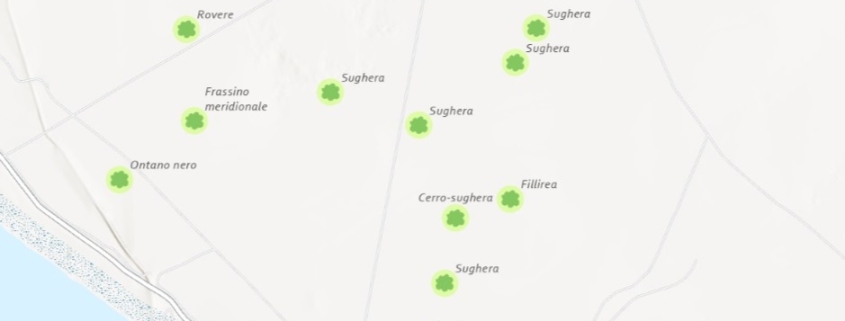
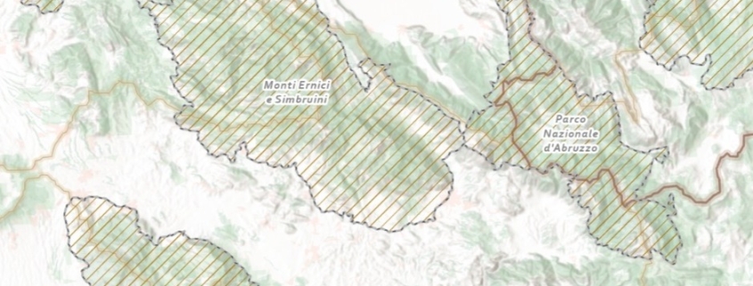
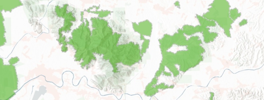
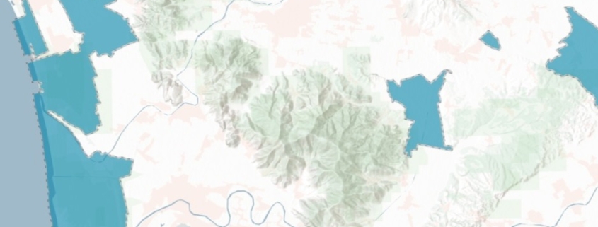
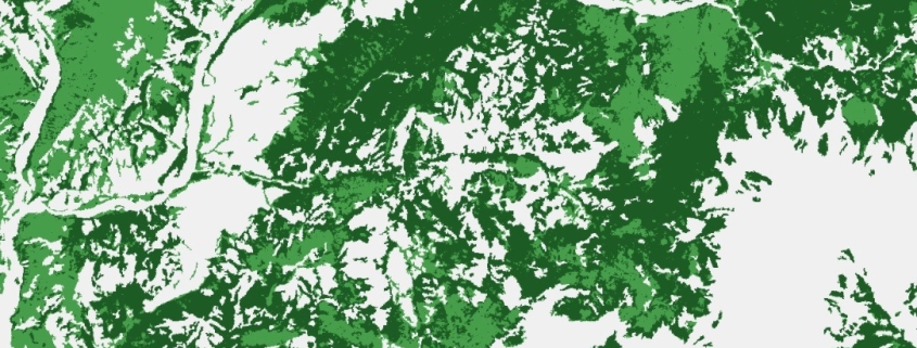
Forest Classification Map

This dataset provides at a pan-European level, in a spatial resolution of 10 meters, a distribution of forest types

Availability: Available

Data Type: raster

Delivery Method: API, Direct download

Compatible with: ArcGIS Enterprise, ArcGIS Online, ArcGIS Pro, QGIS

Piattaforms: Desktop, Web

System Requirements: None

Version: 1.0

Coverage Area: Italia

Data Format: Tiff, GeoTiff, .jpg, Excel, csv, .pdf

Sistema di riferimento: WGS 1984 UTM Zone 32N (EPSG: 32632)

Sources: Sentinel-2 Copernicus Programe

Air Quality Map PM 10 (Sentinel-5)

The raster dataset (resolution 10 km) represents the concentration (µg/m3) of PM10

Availability: Available

Data Type: raster

Delivery Method: API, Direct download

Compatible with: ArcGIS Enterprise, ArcGIS Online, ArcGIS Pro, QGIS

Piattaforms: Desktop, Web

System Requirements: None

Version: 1.0

Coverage Area: Italia

Data Format: Tiff, GeoTiff, .jpg, Excel, csv, .pdf

Sistema di riferimento: WGS 1984 UTM Zone 32N (EPSG: 32632)

Sources: Copernicus Atmosphere Monitoring Service (CAMS)

Air Quality Map PM 2,5 (Sentinel-5)

The raster dataset (resolution 10 km) represents the concentration (µg/m3) of PM2,5

Availability: Available

Data Type: raster

Delivery Method: API, Direct download

Compatible with: ArcGIS Enterprise, ArcGIS Online, ArcGIS Pro, QGIS

Piattaforms: Desktop, Web

System Requirements: None

Version: 1.0

Coverage Area: Italia

Data Format: Tiff, GeoTiff, .jpg, Excel, csv, .pdf

Sistema di riferimento: WGS 1984 UTM Zone 32N (EPSG: 32632)

Sources: Copernicus Atmosphere Monitoring Service (CAMS)

Evolution of coastal line map

Evolution of coastal line

Availability: Available

Data Type: vector

Delivery Method: API, Direct download

Compatible with: ArcGIS Enterprise, ArcGIS Online, ArcGIS Pro, QGIS

Piattaforms: Desktop, Web

System Requirements: None

Version: 1.0

Coverage Area: Italia

Data Format: Kml, ESRI shapefile, ArcGIS Services, Geopackage, csv, Geojson

Sistema di riferimento: WGS 1984 UTM Zone 32N (EPSG: 32632)

Sources: Sentinel-2 Copernicus Programe

PFAS (per- and polyfluoroalkyl substances)

Sites contaminated by per- and polyfluoroalkyl substances (PFAS) in Italy

Availability: Available

Data Type: vector

Delivery Method: API, Direct download

Compatible with: ArcGIS Enterprise, ArcGIS Online, ArcGIS Pro, QGIS

Piattaforms: Desktop, Web

System Requirements: None

Version: 1.0

Coverage Area: Italia

Data Format: Kml, ESRI shapefile, ArcGIS Services, Geopackage, csv, Geojson

Sistema di riferimento: WGS 1984 UTM Zone 32N (EPSG: 32632)

Sources: Le Monde

Monumental trees map

Monumental Italian Trees List

Availability: Available

Data Type: vector

Delivery Method: API, Direct download

Compatible with: ArcGIS Enterprise, ArcGIS Online, ArcGIS Pro, QGIS

Piattaforms: Desktop, Web

System Requirements: None

Version: 1.0

Coverage Area: Italia

Data Format: Kml, ESRI shapefile, ArcGIS Services, Geopackage, csv, Geojson

Sistema di riferimento: WGS 1984 UTM Zone 32N (EPSG: 32632)

Sources: Ministero dell’agricoltura, della sovranità alimentare e delle foreste – Direzione generale dell’economia montana e delle foreste

Important Bird Areas (IBA) map

Italian IBA – Important Birds Areas

Availability: Available

Data Type: vector

Delivery Method: API, Direct download

Compatible with: ArcGIS Enterprise, ArcGIS Online, ArcGIS Pro, QGIS

Piattaforms: Desktop, Web

System Requirements: None

Version: 1.0

Coverage Area: Italia

Data Format: Kml, ESRI shapefile, ArcGIS Services, Geopackage, csv, Geojson

Sistema di riferimento: WGS 1984 UTM Zone 32N (EPSG: 32632)

Sources: MASE – Ministero dell’Ambiente e della Sicurezza Energetica

Natura 2000 Network

Italian Natura 2000 protected areas network

Availability: Available

Data Type: vector

Delivery Method: API, Direct download

Compatible with: ArcGIS Enterprise, ArcGIS Online, ArcGIS Pro, QGIS

Piattaforms: Desktop, Web

System Requirements: None

Version: 1.0

Coverage Area: Italia

Data Format: Kml, ESRI shapefile, ArcGIS Services, Geopackage, csv, Geojson

Sistema di riferimento: WGS 1984 UTM Zone 32N (EPSG: 32632)

Sources: MASE – Ministero dell’Ambiente e della Sicurezza Energetica

Protected Area map (Ramsar)

Italian Protected sites – wetlands of international importance – Ramsar

Availability: Available

Data Type: vector

Delivery Method: API, Direct download

Compatible with: ArcGIS Enterprise, ArcGIS Online, ArcGIS Pro, QGIS

Piattaforms: Desktop, Web

System Requirements: None

Version: 1.0

Coverage Area: Italia

Data Format: Kml, ESRI shapefile, ArcGIS Services, Geopackage, csv, Geojson

Sistema di riferimento: WGS 1984 UTM Zone 32N (EPSG: 32632)

Sources: MASE – Ministero dell’Ambiente e della Sicurezza Energetica

Protected Area map (it. EUAP)

Italian Protected sites – VI Official list of protected areas – EUAP

Availability: Available

Data Type: vector

Delivery Method: API, Direct download

Compatible with: ArcGIS Enterprise, ArcGIS Online, ArcGIS Pro, QGIS

Piattaforms: Desktop, Web

System Requirements: None

Version: 1.0

Coverage Area: Italia

Data Format: Kml, ESRI shapefile, ArcGIS Services, Geopackage, csv, Geojson

Sistema di riferimento: WGS 1984 UTM Zone 32N (EPSG: 32632)

Sources: MASE – Ministero dell’Ambiente e della Sicurezza Energetica