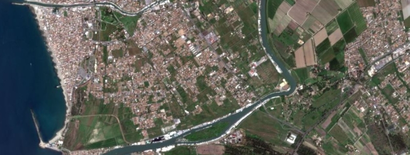
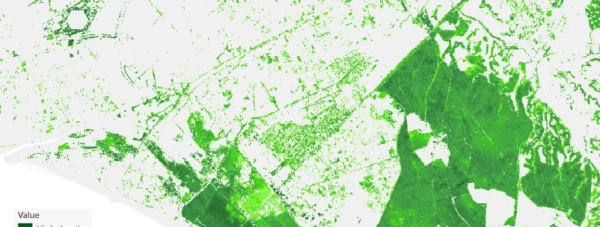
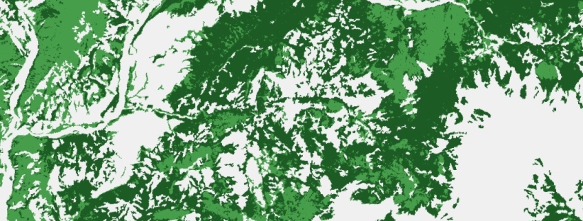
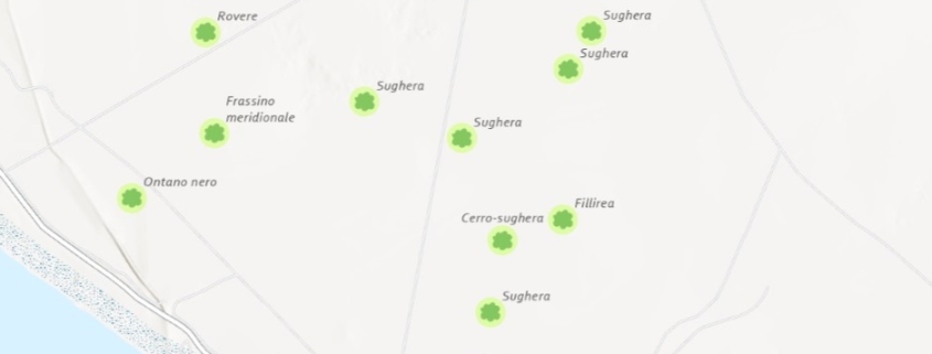
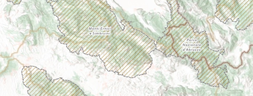
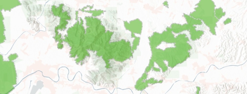
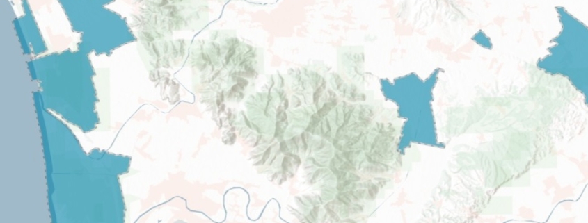
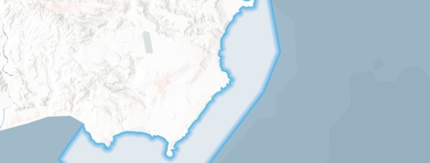
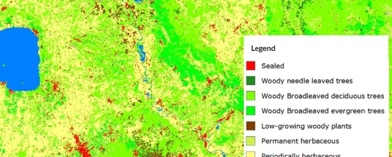
Posts

Land Cover Map

The land cover map is obtained from the combination of data provided by the Service of Land Monitoring of the Copernicus Program and by the National Report on Soil Consumption (ISPRA).

Availability: Available

Data Type: raster

Delivery Method: API, Direct download

Compatible with: ArcGIS Enterprise, ArcGIS Online, ArcGIS Pro, QGIS

Piattaforms: Desktop, Web

System Requirements: None

Version: 1.0

Coverage Area: Italia

Data Format: Tiff, GeoTiff, .jpg, Excel, csv, .pdf

Sistema di riferimento: WGS 1984 UTM Zone 32N (EPSG: 32632)

Sources: Sentinel-2 Copernicus Programe

Satellite Image in different color composit

The raster dataset represents the Sentinel-2 scene of a specific area (single or mosaic) through four bands (RED, GREEN, BLU, NIR)

Availability: Available

Data Type: raster

Delivery Method: API, Direct download

Compatible with: ArcGIS Enterprise, ArcGIS Online, ArcGIS Pro, QGIS

Piattaforms: Desktop, Web

System Requirements: None

Version: 1.0

Coverage Area: Italia

Data Format: Tiff, GeoTiff, .jpg, Excel, csv, .pdf

Sistema di riferimento: WGS 1984 UTM Zone 32N (EPSG: 32632)

Sources: NASA/USGS Landsat Program

Percentage of tree cover map

This dataset provides information on the percentage (0–100%) of tree canopy cover within a given area.

Availability: Available

Data Type: raster

Delivery Method: API, Direct download

Compatible with: ArcGIS Enterprise, ArcGIS Online, ArcGIS Pro, QGIS

Piattaforms: Desktop, Web

System Requirements: None

Version: 1.0

Coverage Area: Italia

Data Format: Tiff, GeoTiff, .jpg, Excel, csv, .pdf

Sistema di riferimento: WGS 1984 UTM Zone 32N (EPSG: 32632)

Sources: Sentinel-2 Copernicus Programe

Forest Classification Map

This dataset provides at a pan-European level, in a spatial resolution of 10 meters, a distribution of forest types

Availability: Available

Data Type: raster

Delivery Method: API, Direct download

Compatible with: ArcGIS Enterprise, ArcGIS Online, ArcGIS Pro, QGIS

Piattaforms: Desktop, Web

System Requirements: None

Version: 1.0

Coverage Area: Italia

Data Format: Tiff, GeoTiff, .jpg, Excel, csv, .pdf

Sistema di riferimento: WGS 1984 UTM Zone 32N (EPSG: 32632)

Sources: Sentinel-2 Copernicus Programe

Monumental trees map

Monumental Italian Trees List

Availability: Available

Data Type: vector

Delivery Method: API, Direct download

Compatible with: ArcGIS Enterprise, ArcGIS Online, ArcGIS Pro, QGIS

Piattaforms: Desktop, Web

System Requirements: None

Version: 1.0

Coverage Area: Italia

Data Format: Kml, ESRI shapefile, ArcGIS Services, Geopackage, csv, Geojson

Sistema di riferimento: WGS 1984 UTM Zone 32N (EPSG: 32632)

Sources: Ministero dell’agricoltura, della sovranità alimentare e delle foreste – Direzione generale dell’economia montana e delle foreste

Important Bird Areas (IBA) map

Italian IBA – Important Birds Areas

Availability: Available

Data Type: vector

Delivery Method: API, Direct download

Compatible with: ArcGIS Enterprise, ArcGIS Online, ArcGIS Pro, QGIS

Piattaforms: Desktop, Web

System Requirements: None

Version: 1.0

Coverage Area: Italia

Data Format: Kml, ESRI shapefile, ArcGIS Services, Geopackage, csv, Geojson

Sistema di riferimento: WGS 1984 UTM Zone 32N (EPSG: 32632)

Sources: MASE – Ministero dell’Ambiente e della Sicurezza Energetica

Natura 2000 Network

Italian Natura 2000 protected areas network

Availability: Available

Data Type: vector

Delivery Method: API, Direct download

Compatible with: ArcGIS Enterprise, ArcGIS Online, ArcGIS Pro, QGIS

Piattaforms: Desktop, Web

System Requirements: None

Version: 1.0

Coverage Area: Italia

Data Format: Kml, ESRI shapefile, ArcGIS Services, Geopackage, csv, Geojson

Sistema di riferimento: WGS 1984 UTM Zone 32N (EPSG: 32632)

Sources: MASE – Ministero dell’Ambiente e della Sicurezza Energetica

Protected Area map (Ramsar)

Italian Protected sites – wetlands of international importance – Ramsar

Availability: Available

Data Type: vector

Delivery Method: API, Direct download

Compatible with: ArcGIS Enterprise, ArcGIS Online, ArcGIS Pro, QGIS

Piattaforms: Desktop, Web

System Requirements: None

Version: 1.0

Coverage Area: Italia

Data Format: Kml, ESRI shapefile, ArcGIS Services, Geopackage, csv, Geojson

Sistema di riferimento: WGS 1984 UTM Zone 32N (EPSG: 32632)

Sources: MASE – Ministero dell’Ambiente e della Sicurezza Energetica

Protected Area map (it. EUAP)

Italian Protected sites – VI Official list of protected areas – EUAP

Availability: Available

Data Type: vector

Delivery Method: API, Direct download

Compatible with: ArcGIS Enterprise, ArcGIS Online, ArcGIS Pro, QGIS

Piattaforms: Desktop, Web

System Requirements: None

Version: 1.0

Coverage Area: Italia

Data Format: Kml, ESRI shapefile, ArcGIS Services, Geopackage, csv, Geojson

Sistema di riferimento: WGS 1984 UTM Zone 32N (EPSG: 32632)

Sources: MASE – Ministero dell’Ambiente e della Sicurezza Energetica

Internal Water Bodies Map

Italian internal water bodies

Availability: Available

Data Type: vector

Delivery Method: API, Direct download

Compatible with: ArcGIS Enterprise, ArcGIS Online, ArcGIS Pro, QGIS

Piattaforms: Desktop, Web

System Requirements: None

Version: 1.0

Coverage Area: Italia

Data Format: Kml, ESRI shapefile, ArcGIS Services, Geopackage, csv, Geojson

Sistema di riferimento: WGS 1984 UTM Zone 32N (EPSG: 32632)

Sources: MASE – Ministero dell’Ambiente e della Sicurezza Energetica