Posts

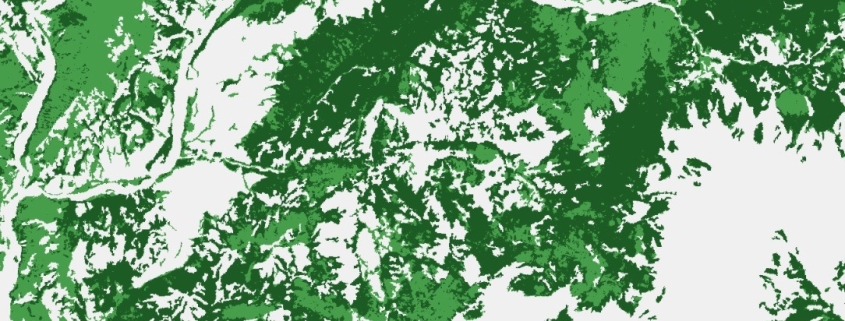
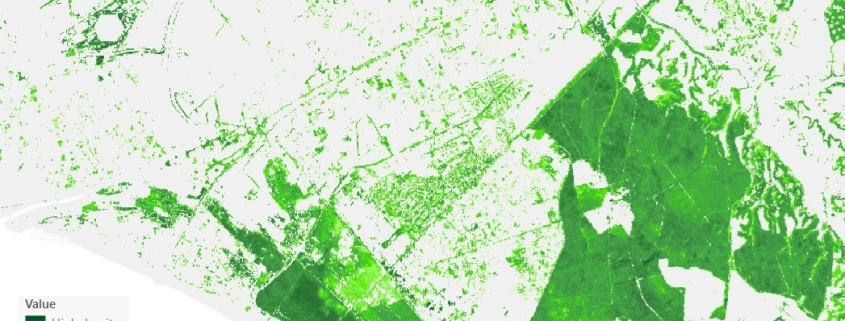
Percentage of tree cover map

This dataset provides information on the percentage (0–100%) of tree canopy cover within a given area.

Availability: Available

Data Type: raster

Delivery Method: API, Direct download

Compatible with: ArcGIS Enterprise, ArcGIS Online, ArcGIS Pro, QGIS

Piattaforms: Desktop, Web

System Requirements: None

Version: 1.0

Coverage Area: Italia

Data Format: Tiff, GeoTiff, .jpg, Excel, csv, .pdf

Sistema di riferimento: WGS 1984 UTM Zone 32N (EPSG: 32632)

Sources: Sentinel-2 Copernicus Programe

Forest Classification Map

This dataset provides at a pan-European level, in a spatial resolution of 10 meters, a distribution of forest types

Availability: Available

Data Type: raster

Delivery Method: API, Direct download

Compatible with: ArcGIS Enterprise, ArcGIS Online, ArcGIS Pro, QGIS

Piattaforms: Desktop, Web

System Requirements: None

Version: 1.0

Coverage Area: Italia

Data Format: Tiff, GeoTiff, .jpg, Excel, csv, .pdf

Sistema di riferimento: WGS 1984 UTM Zone 32N (EPSG: 32632)

Sources: Sentinel-2 Copernicus Programe