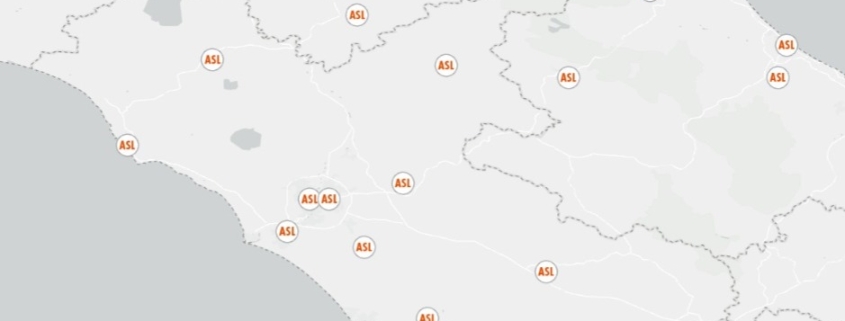
Local Health Authority Distribution Map
The dataset contains the list of local health boards

The dataset contains the list of local health boards

The raster dataset (resolution 10 km) represents the concentration (µg/m3) of PM10
Availability: Available
Data Type: raster
Delivery Method: API, Direct download
Compatible with: ArcGIS Enterprise, ArcGIS Online, ArcGIS Pro, QGIS
Piattaforms: Desktop, Web
System Requirements: None
Version: 1.0
Coverage Area: Italia
Data Format: Tiff, GeoTiff, .jpg, Excel, csv, .pdf
Sistema di riferimento: WGS 1984 UTM Zone 32N (EPSG: 32632)
Sources: Copernicus Atmosphere Monitoring Service (CAMS)

The raster dataset (resolution 10 km) represents the concentration (µg/m3) of PM2,5
Availability: Available
Data Type: raster
Delivery Method: API, Direct download
Compatible with: ArcGIS Enterprise, ArcGIS Online, ArcGIS Pro, QGIS
Piattaforms: Desktop, Web
System Requirements: None
Version: 1.0
Coverage Area: Italia
Data Format: Tiff, GeoTiff, .jpg, Excel, csv, .pdf
Sistema di riferimento: WGS 1984 UTM Zone 32N (EPSG: 32632)
Sources: Copernicus Atmosphere Monitoring Service (CAMS)
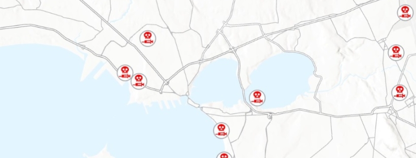
Sites contaminated by per- and polyfluoroalkyl substances (PFAS) in Italy
Availability: Available
Data Type: vector
Delivery Method: API, Direct download
Compatible with: ArcGIS Enterprise, ArcGIS Online, ArcGIS Pro, QGIS
Piattaforms: Desktop, Web
System Requirements: None
Version: 1.0
Coverage Area: Italia
Data Format: Kml, ESRI shapefile, ArcGIS Services, Geopackage, csv, Geojson
Sistema di riferimento: WGS 1984 UTM Zone 32N (EPSG: 32632)
Sources: Le Monde
