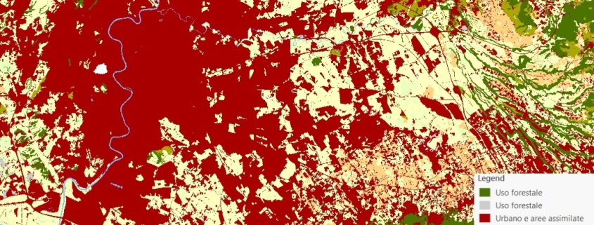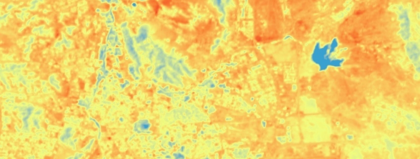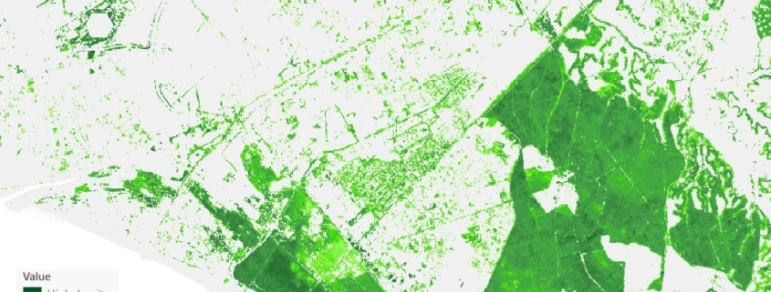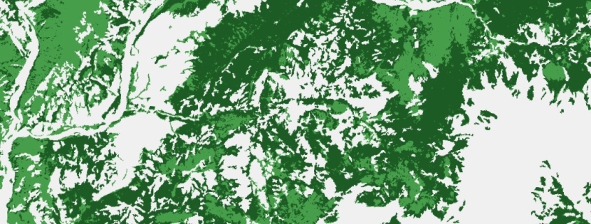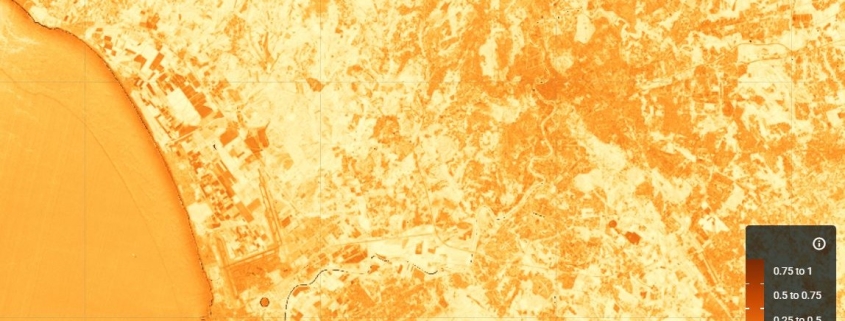
Built-up density map (NDBI Index)
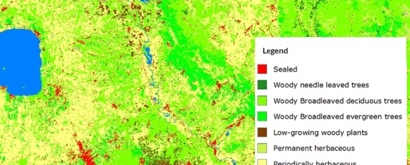
The NDBI (Normalized Difference Built-up Index) index uses the NIR and SWIR bands to highlight manufactured built-up areas.
Availability: Available
Data Type: raster
Delivery Method: API, Direct download
Compatible with: ArcGIS Enterprise, ArcGIS Online, ArcGIS Pro, QGIS
Piattaforms: Desktop, Web
System Requirements: None
Version: 1.0
Coverage Area: Italia
Data Format: Tiff, GeoTiff, .jpg, Excel, csv, .pdf
Sistema di riferimento: WGS 1984 UTM Zone 32N (EPSG: 32632)
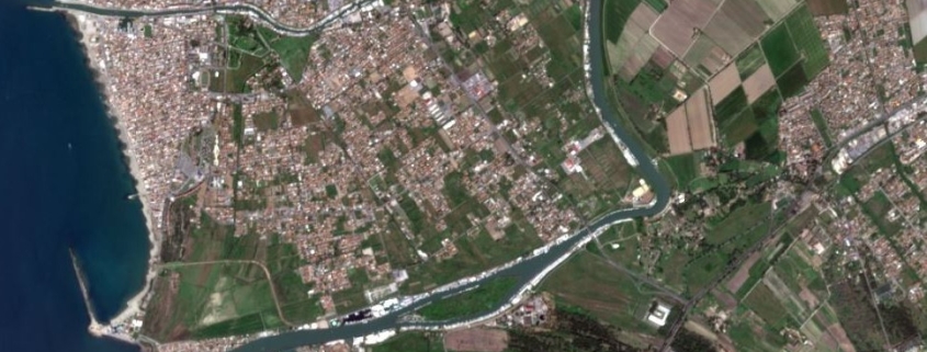
Sources: Sentinel-2 Copernicus Programe