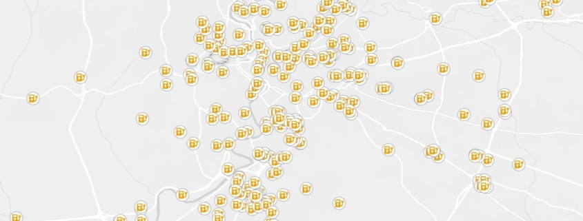
Charging station (for electrical vehicles)
The dataset contains the exact location and identification of charging stations for electrical vehicles

The dataset contains the exact location and identification of charging stations for electrical vehicles
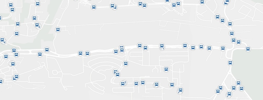
The dataset concerns the local public transportation network in Italian territory
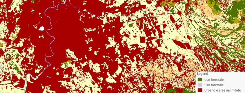
The land use map is obtained by the integration of data provided by the Land Monitoring Service of the Copernicus Program and by the National Report on Soil Consumption (ISPRA).
Availability: Available
Data Type: raster
Delivery Method: API, Direct download
Compatible with: ArcGIS Enterprise, ArcGIS Online, ArcGIS Pro, QGIS
Piattaforms: Desktop, Web
System Requirements: None
Version: 1.0
Coverage Area: Italia
Data Format: Tiff, GeoTiff, .jpg, Excel, csv, .pdf
Sistema di riferimento: WGS 1984 UTM Zone 32N (EPSG: 32632)
Sources: Sentinel-2 Copernicus Programe

The raster dataset (resolution 10 km) represents the concentration (µg/m3) of PM10
Availability: Available
Data Type: raster
Delivery Method: API, Direct download
Compatible with: ArcGIS Enterprise, ArcGIS Online, ArcGIS Pro, QGIS
Piattaforms: Desktop, Web
System Requirements: None
Version: 1.0
Coverage Area: Italia
Data Format: Tiff, GeoTiff, .jpg, Excel, csv, .pdf
Sistema di riferimento: WGS 1984 UTM Zone 32N (EPSG: 32632)
Sources: Copernicus Atmosphere Monitoring Service (CAMS)

The raster dataset (resolution 10 km) represents the concentration (µg/m3) of PM2,5
Availability: Available
Data Type: raster
Delivery Method: API, Direct download
Compatible with: ArcGIS Enterprise, ArcGIS Online, ArcGIS Pro, QGIS
Piattaforms: Desktop, Web
System Requirements: None
Version: 1.0
Coverage Area: Italia
Data Format: Tiff, GeoTiff, .jpg, Excel, csv, .pdf
Sistema di riferimento: WGS 1984 UTM Zone 32N (EPSG: 32632)
Sources: Copernicus Atmosphere Monitoring Service (CAMS)
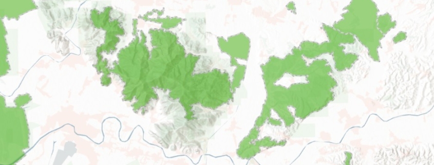
Italian Natura 2000 protected areas network
Availability: Available
Data Type: vector
Delivery Method: API, Direct download
Compatible with: ArcGIS Enterprise, ArcGIS Online, ArcGIS Pro, QGIS
Piattaforms: Desktop, Web
System Requirements: None
Version: 1.0
Coverage Area: Italia
Data Format: Kml, ESRI shapefile, ArcGIS Services, Geopackage, csv, Geojson
Sistema di riferimento: WGS 1984 UTM Zone 32N (EPSG: 32632)
Sources: MASE – Ministero dell’Ambiente e della Sicurezza Energetica
