Landsat- LST
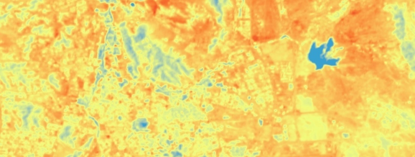
Il raster data-set rappresenta la temperatura superficiale terrestre (LST), espressa in gradi centigradi, calcolata da Landsat8.

Il raster data-set rappresenta la temperatura superficiale terrestre (LST), espressa in gradi centigradi, calcolata da Landsat8.
