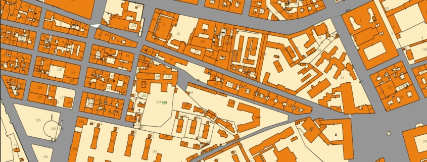
Cadastral_Data
Italian cadastral data include georeferenced information on property and land parcels, supporting spatial analysis and planning.

Italian cadastral data include georeferenced information on property and land parcels, supporting spatial analysis and planning.
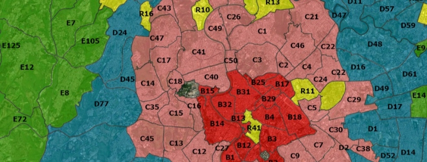
This dataset represents the mean value of real estate for rent , both residential and commercial.
Availability: Available
Data Type: vector
Delivery Method: API, Direct download
Compatible with: ArcGIS Enterprise, ArcGIS Online, ArcGIS Pro, QGIS
Piattaforms: Desktop, Web
System Requirements: None
Version: 1.0
Coverage Area: Italia
Data Format: Kml, ESRI shapefile, ArcGIS Services, Geopackage, csv, Geojson
Sistema di riferimento: WGS 1984 UTM Zone 32N (EPSG: 32632)
Sources: Agenzia delle Entrate
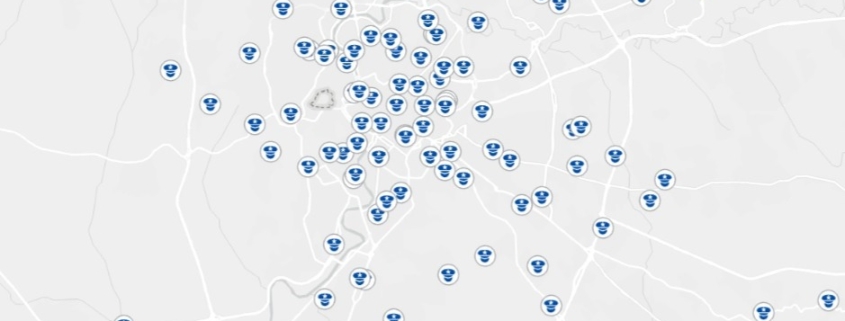
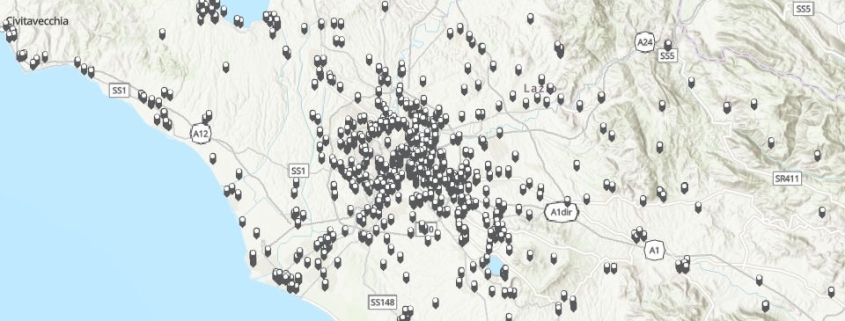
The dataset contains the exact location and identification of police stations and precincts in Italian territory.
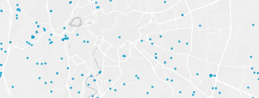
This dataset represents the mean value of real estate for sale , both residential and commercial.
Availability: Available
Data Type: vector
Delivery Method: API, Direct download
Compatible with: ArcGIS Enterprise, ArcGIS Online, ArcGIS Pro, QGIS
Piattaforms: Desktop, Web
System Requirements: None
Version: 1.0
Coverage Area: Italia
Data Format: Kml, ESRI shapefile, ArcGIS Services, Geopackage, csv, Geojson
Sistema di riferimento: WGS 1984 UTM Zone 32N (EPSG: 32632)
Sources: Agenzia delle Entrate
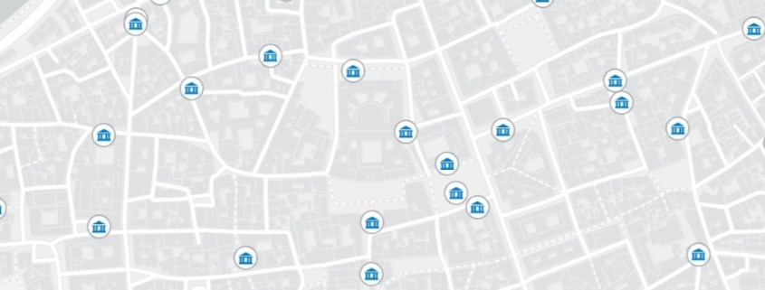
The dataset contains the exact location and information on public entity
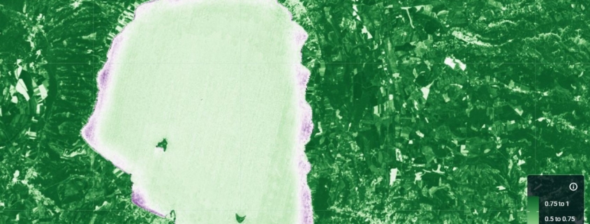
The NDCI index is used to assess the concentration of chlorophyll-a in water bodies.
Availability: Available
Data Type: raster
Delivery Method: API, Direct download
Compatible with: ArcGIS Enterprise, ArcGIS Online, ArcGIS Pro, QGIS
Piattaforms: Desktop, Web
System Requirements: None
Version: 1.0
Coverage Area: Italia
Data Format: Tiff, GeoTiff, .jpg, Excel, csv, .pdf
Sistema di riferimento: WGS 1984 UTM Zone 32N (EPSG: 32632)
Sources: Sentinel-2 Copernicus Programe
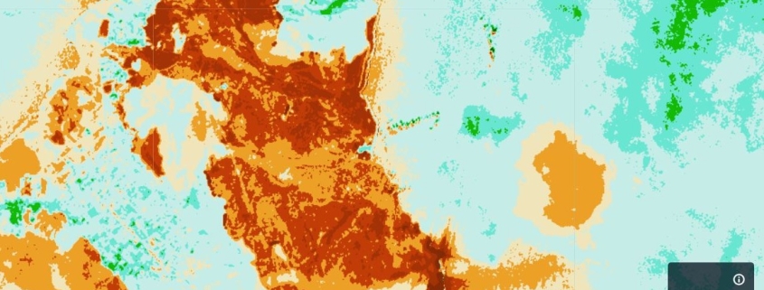
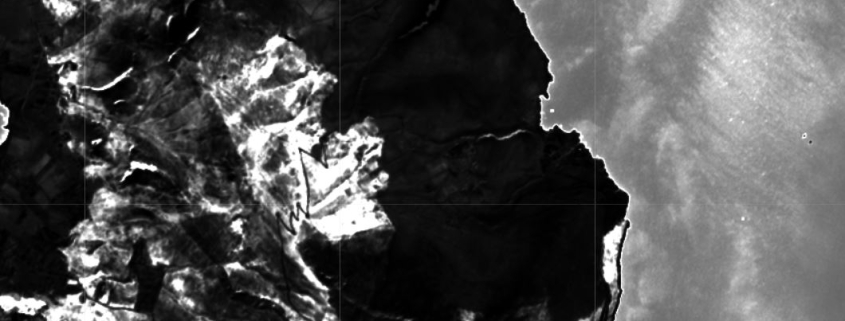
The NBRI index is used to identify areas affected by fire and to measure the severity of the burn.
Availability: Available
Data Type: raster
Delivery Method: API, Direct download
Compatible with: ArcGIS Enterprise, ArcGIS Online, ArcGIS Pro, QGIS
Piattaforms: Desktop, Web
System Requirements: None
Version: 1.0
Coverage Area: Italia
Data Format: Tiff, GeoTiff, .jpg, Excel, csv, .pdf
Sistema di riferimento: WGS 1984 UTM Zone 32N (EPSG: 32632)
Sources: Sentinel-2 Copernicus Programe
The BAI index is used to identify areas affected by fire.
Availability: Available
Data Type: raster
Delivery Method: API, Direct download
Compatible with: ArcGIS Enterprise, ArcGIS Online, ArcGIS Pro, QGIS
Piattaforms: Desktop, Web
System Requirements: None
Version: 1.0
Coverage Area: Italia
Data Format: Tiff, GeoTiff, .jpg, Excel, csv, .pdf
Sistema di riferimento: WGS 1984 UTM Zone 32N (EPSG: 32632)
Sources: Sentinel-2 Copernicus Programe
