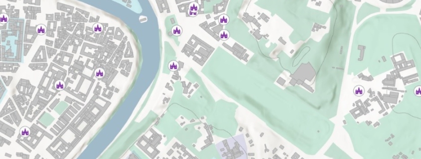
Place of Worship
Point data releted to Italian Place of Worship

Point data releted to Italian Place of Worship
The dataset contains selected and georeferenced data of the real estate assets from the General Catalogue of Cultural Heritage.
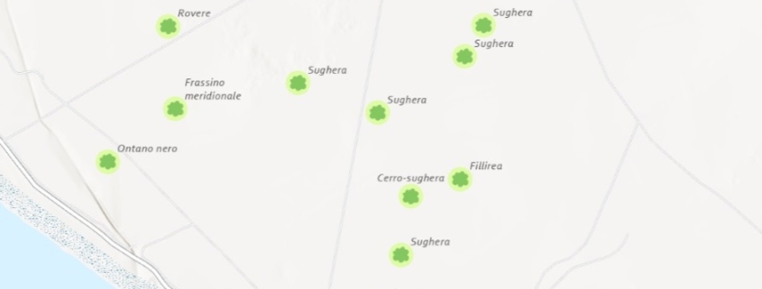
Monumental Italian Trees List
Availability: Available
Data Type: vector
Delivery Method: API, Direct download
Compatible with: ArcGIS Enterprise, ArcGIS Online, ArcGIS Pro, QGIS
Piattaforms: Desktop, Web
System Requirements: None
Version: 1.0
Coverage Area: Italia
Data Format: Kml, ESRI shapefile, ArcGIS Services, Geopackage, csv, Geojson
Sistema di riferimento: WGS 1984 UTM Zone 32N (EPSG: 32632)
Sources: Ministero dell’agricoltura, della sovranità alimentare e delle foreste – Direzione generale dell’economia montana e delle foreste
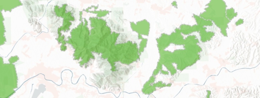
Italian IBA – Important Birds Areas
Availability: Available
Data Type: vector
Delivery Method: API, Direct download
Compatible with: ArcGIS Enterprise, ArcGIS Online, ArcGIS Pro, QGIS
Piattaforms: Desktop, Web
System Requirements: None
Version: 1.0
Coverage Area: Italia
Data Format: Kml, ESRI shapefile, ArcGIS Services, Geopackage, csv, Geojson
Sistema di riferimento: WGS 1984 UTM Zone 32N (EPSG: 32632)
Sources: MASE – Ministero dell’Ambiente e della Sicurezza Energetica
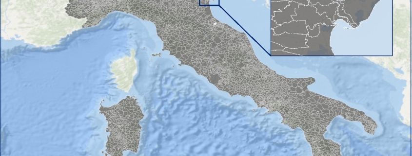
Italian Municipal administrative boundary
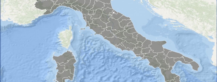
Italian Provincial administrative boundary
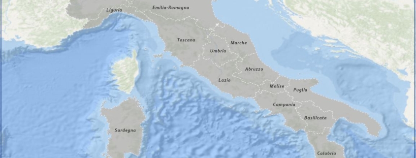
Italian Regional administrative boundary
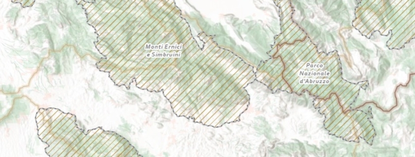
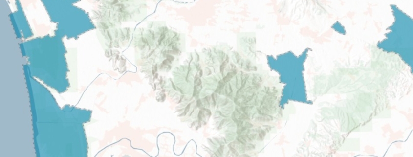
Italian Natura 2000 protected areas network
Availability: Available
Data Type: vector
Delivery Method: API, Direct download
Compatible with: ArcGIS Enterprise, ArcGIS Online, ArcGIS Pro, QGIS
Piattaforms: Desktop, Web
System Requirements: None
Version: 1.0
Coverage Area: Italia
Data Format: Kml, ESRI shapefile, ArcGIS Services, Geopackage, csv, Geojson
Sistema di riferimento: WGS 1984 UTM Zone 32N (EPSG: 32632)
Sources: MASE – Ministero dell’Ambiente e della Sicurezza Energetica
Italian Protected sites – wetlands of international importance – Ramsar
Availability: Available
Data Type: vector
Delivery Method: API, Direct download
Compatible with: ArcGIS Enterprise, ArcGIS Online, ArcGIS Pro, QGIS
Piattaforms: Desktop, Web
System Requirements: None
Version: 1.0
Coverage Area: Italia
Data Format: Kml, ESRI shapefile, ArcGIS Services, Geopackage, csv, Geojson
Sistema di riferimento: WGS 1984 UTM Zone 32N (EPSG: 32632)
Sources: MASE – Ministero dell’Ambiente e della Sicurezza Energetica
